Good morning! We start another day with lots of plans. It's hard to believe we've been traveling for a week now. I deliberately write that we are “on the move” and not in Scotland, as we only reached our holiday destination a little late. (more belowDay 1 & 2 - with obstacles to Scotland)
Tomorrow we'll be changing quarters and moving into our rustic stone house in the middle of nowhere. Tomorrow we're heading north and so today we're driving a much shorter route into the Glencoe Valley and along the A82.
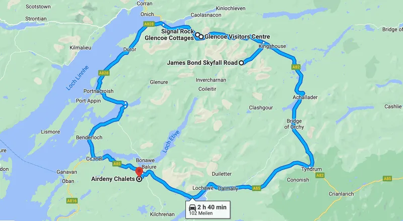
The start of the route is similar to yesterday and after a while we turn into the Glencoe valley and park directly at the Glencoe Visitor Center for the first route we want to take.
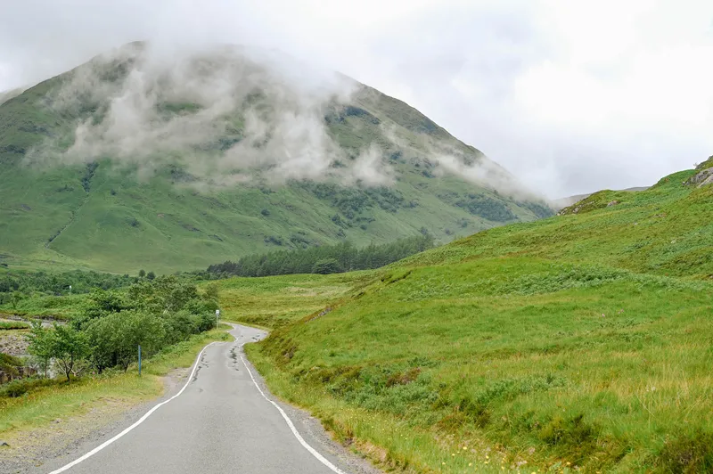
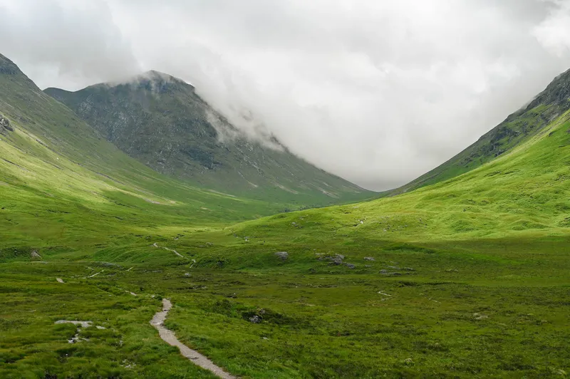
Scenically speaking, it is the most beautiful area so far and that is saying something because we have already seen a lot of great and different areas here, but the Glencoe Valley with the entire route over the A82 is simply a dream in itself.
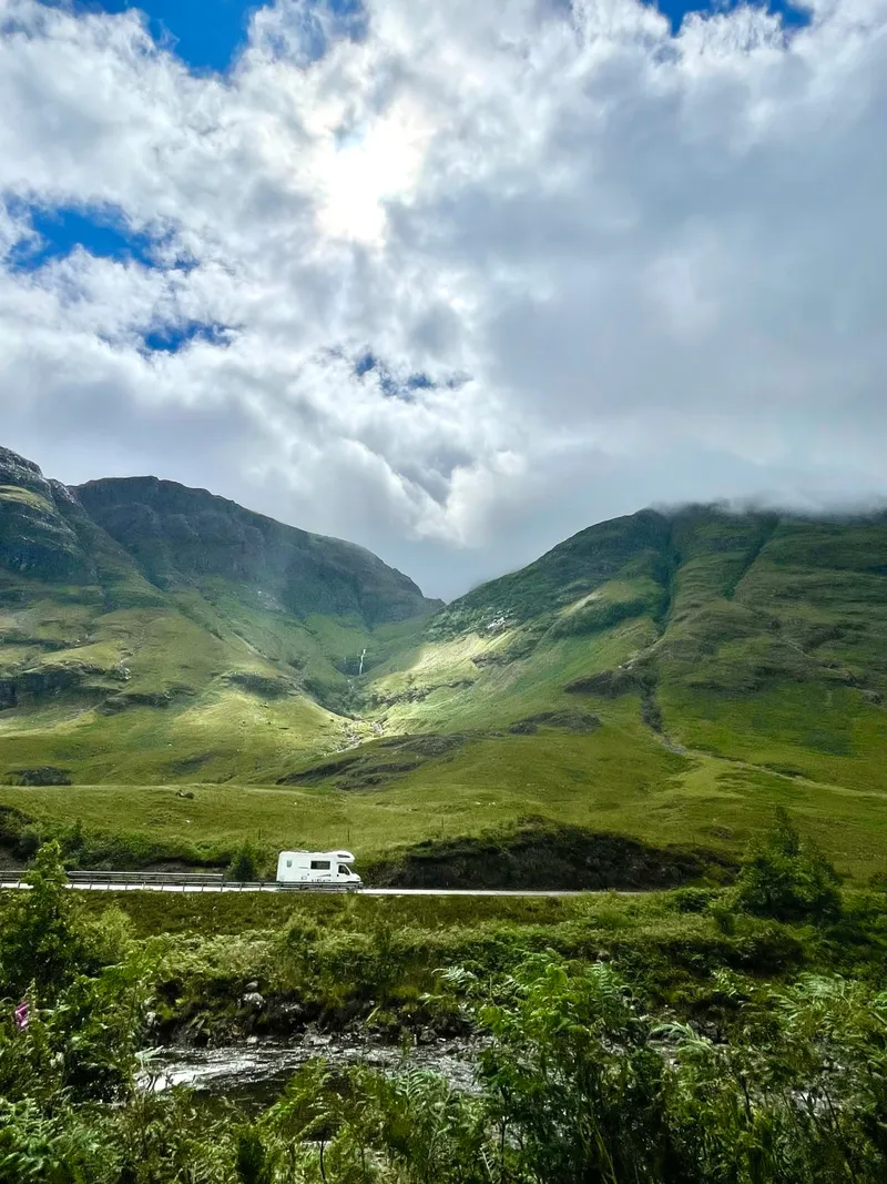
After we started out in a light drizzle, the weather has now really turned into a treat and we're getting a lot of sun today and a bright blue sky with piercing white clouds. Mixed with the bright green it really creates a unique play of colors!
Glencoe Visitor Center
The Glencoe Visitor Center is very new and offers a good starting point for many different hiking routes of all levels of difficulty. There is a really great café right next to the Visitor Center, so if you happen to pass by, definitely go in.
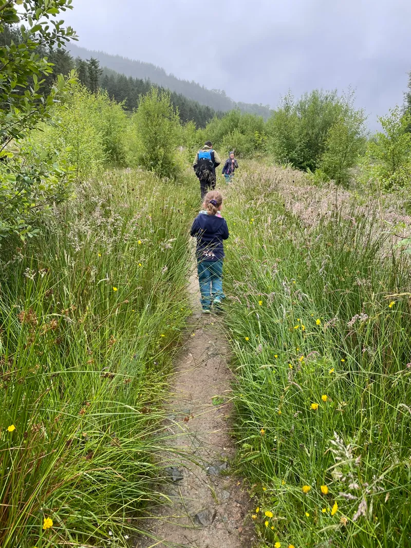
We decide to take the middle route and enter the Glencoe Valley through narrow paths surrounded by flowers and plants. For Vera, the piece with the tall ferns that we move through is a particular highlight. Along the path we also pass the Torf House and take a walk around the house.
💡 Interesting facts about GlencoeIn the “Council Area Highland” lies the protected area of Glen Coe, the center of which is the small town of Glencoe. The River Coe flows through the valley and later flows into a branch of Loch Linnhe, which is known as Loch Leven. Glen Coe is surrounded by numerous peaks, so hiking, climbing and mountaineering, in addition to winter sports, are popular leisure activities for tourists, which are often visited byFort Williamstart here.
The rocks of Glen Coe are of volcanic origin and the numerous mountains and faults were created by the extensive glaciation of Scotland during the Ice Age. Many small streams cascade from the mountains down into the valley in waterfalls and then flow into the River Coe. The valley is separated from the neighboring Loch Leven to the north by the elongated massif of the “Aonach Eagach”.
On the south side of Glen Coe are the towering cliffs of the “Three Sisters of Glen Coe”. They are part of the “Bidean nam Bian” massif, which rises up to 1,150 meters high. In many films, Harry Potter and James Bond have been up to mischief in this tranquil valley.
The town of Glencoe lies on an area of the Glen Coe valley, which is known as “Carnoch”. The town of Glencoe was known as a settlement as early as 1850, but at that time it was located on the north bank of the Coe. The town of Glencoe is now on the southern bank. In Glencoe there is “Saint Mary’s Church”, a small museum and the visitor center. Glencoe is also known for the Glencoe Massacre of 1692.
Clachaig Inn
At lunchtime we are looking for a good inn where we would like to eat today. The Clachaig Inn is on the way to Signal Rock and fits perfectly into our plan for today. A good restaurant with a bit of a ski hut feeling and once again a large playground in front of the door. The sun is shining and we enjoy the warm rays of sunshine on the terrace.
Today is the day of days and Flo orders the haggis she has wanted for so long. - Haggis is a Scottish national dish which is a stuffed sheep's stomach. It is filled with offal, oat flour and onions. I have to admit that I resisted even trying it for ages before the trip, but I have to say it doesn't taste bad and I'm at least proud of having tasted it. Vera is always present at the tasting and tastes everything just to get an idea of it. Valentina sticks to the classic nuggets and fries.
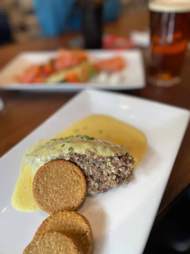
We tried haggis for the first time today
Signal Rock
Strengthened after lunch, we hike along the Single Track Road towards Signal Rock Viewpoint. And when we look at this picture we can only say: This was more than worth it! 🤩
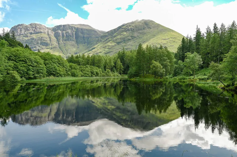
💡 Interesting facts about Signal RockMyths, stories and bloody massacres accompany Signal Rock, located in the forests of An Torr. It towers over the Glen Coe valley and served the purpose of a signal rock. A fire lit on it is visible from afar from both sides of the curved valley. Supposedly and not confirmed by experts, a signal fire on February 13, 1692 was the signal for the attack by the soldiers of the Duke of Argyl's Regiment on their hosts, the MacDonalds of Glencoe. This attack, known as the Glencoe Massacre, claimed the lives of 38 men, women and children.
If you walk around Signal Rock, there are steps carved into the back, making it easy to reach the top of the rock. Originally the title of the rock was “Tom a Ghrianain,” which translates to “Hill of the Sun.” There is also a story about this among the Scots, which the experts also distance themselves from. Druids are said to have used this rock in ancient times because it offers a fantastic view of the sunrise and sunset. The Druids use it to worship the sun.
No matter which story or legend you want to follow - the circular route to Signal Rock through the varied forest of “An Torr” is definitely worth a visit. The path there is well signposted and only has a steep incline shortly before reaching the rock.
West of Signal Rock is the town of Glencoe, where a visitor center provides visitors with lots of interesting information about the history and geology of the valley.
Route A82 - a dream
The A82 route is a single stop and go area, because one parking niche follows the next and you want to get in line and stop at each one. The landscape is simply a dream and changes every minute. After every corner you want to jump out of the car and capture the view.
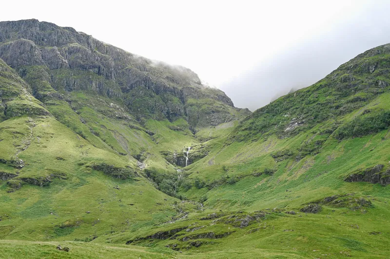
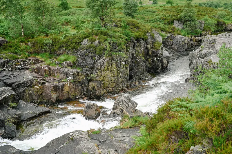
There are many cars and mobile homes along the A82 route to take the best snapshots. We pretty much need the late afternoon for this route and are simply overwhelmed.
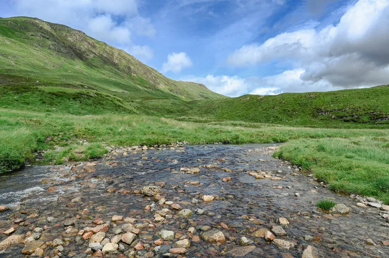
💡 Route A82 and the best stops along the routeThe A82 road begins in Glasgow in the northern district of Cowcaddens. She leads overFort Williamuntil afterInvernessand has a total length of 268.8 km. Only the A9 in Scotland is longer at 439 km. The A82 road is largely designed as a trunk road and is one of the most important north-south routes in Scotland. The oldest sections were laid out as military roads by General George Wade between 1725 and 1737.
The A82 route offers unforgettable driving experiences through Scotland's wild nature and is therefore recommended in many tourist guides. On the route to Fort Williams in the Highlands, the first highlight is Loch Lomond. From Balloch you then go up along Loch Lomond to the summit of Loch Lomond. The picturesque towns of Luss, Tarbert and Ardlui are crossed.
From Loch Lomond the A82 road then leads to the popular tourist center of Crianlarich. An incomparable landscape with breathtaking views is crossed. The next section from Tyndrum to Glencoe takes the A82 road over Rannoch Moor, which is one of the last regions in Europe to offer undestroyed wilderness. The Glen Coe valley also offers unforgettable views and in the village of Glencoe a visitor center provides information about the valley, the village and the history of the Campbell and Macdonald clans.
After the Glen Coe valley, the A82 runs along the banks of Loch Linnhe until you reach Fort Williams at the foot of “Ben Nevis”, which at 914 meters is the highest mountain in the United Kingdom.
After Fort Williams the A82 continues north to Fort Augustus and then along theLoch Nessvia Drumnadrochit to Inverness, where they are close to theKessock Bridgeends.
James Bond film set
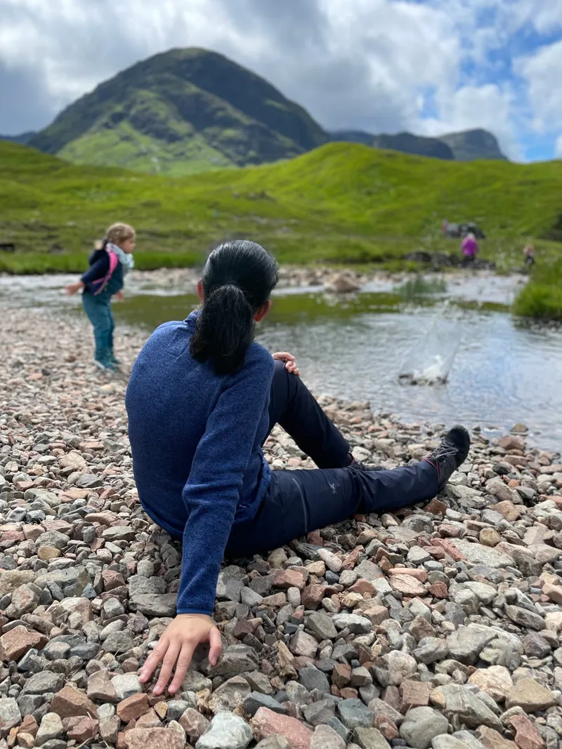
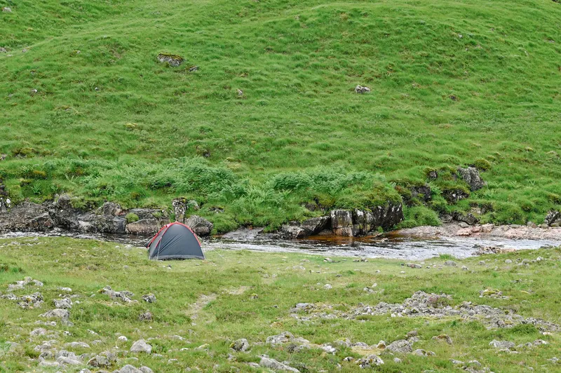
Along the A82 there is also a detour onto a really narrow route. If you follow this road for around 7 miles, you will come to a well-known film set - James Bond Skyfall was filmed here. A beautiful area here that some also use for wild camping.
Conversations along the way
Approved comments from the original article, in their original language.
[…] und Eindrücke, dass ein Vergleich kaum möglich ist. Nimmt man die Landschaft her, sind sicher Glencoe und die Insel Skye in Bezug auf Grün und WOW-Feeling absolut weit vorne […]